Overview
Dr. Bahram Bahrambeygi is a distinguished Professional Lecturer specializing in GIS and Mineral Exploration at the University of Exeter's Camborne School of Mines (CSM), recognized as the leading European research and academic institution in mining disciplines. Renowned as a world-class scientific center, CSM consistently ranks among the top institutions globally, holding the 14th position in the latest rankings as of April 2024. Dr. Bahrambeygi is esteemed as a professional lecturer in this distinguished academic center, contributing actively to its academic excellence and research prominence.
Experience and Interests:
A results-driven lecturer in Economic Geology and GIS, Dr. Bahrambeygi brings extensive research and teaching experience. He has authored numerous peer-reviewed journal articles and serves as a scientific reviewer for reputable journals, demonstrating proven potential in research and academic leadership.
Dr. Bahrambeygi has made significant contributions to the field of economic geology, notably through outstanding practical achievements resulting directly from his scientific research insights. With over a decade of experience, his expertise encompasses mineral exploration, ore deposit evolution, and advanced GIS applications in geosciences.
His influential contributions to research and innovation projects in GIS, remote sensing, and mineral exploration underscore his proficiency in spatial analysis and strategic insights that significantly contribute to the field.
Stay connected to this page for regular updates on Dr. Bahram Bahrambeygi's academic journey, ongoing research endeavors, and steadfast dedication to advancing knowledge in GIS and mineral exploration.
He is always open to a chat to explore potential scientific collaborations over a cup of coffee.
Further information
Lecturer in GIS and Mineral Exploration
Lecturer in GIS and Mineral Exploration
University of Exeter, UK
Since January 2024
- Instruct on both theoretical and practical applications of GIS in the fields of geology and mineral exploration.
- Deliver comprehensive lectures on the principles of economic geology and geological mapping techniques.
- Supervise and mentor graduate students, encouraging the development of innovative research projects and practical applications.
- Conduct research in geology and mining to strengthen industrial partnerships.
- Foster national and international collaborations with research centers and institutions.
- Participate in the development of strategic research initiatives
Student Academic Mentor
Sheffield Hallam University
January 2023 – January 2024
- Advised Master's students on GIS and Data Science projects, focusing on practical and theoretical aspects.
- UK and USGS data integration projects utilizing resources such as Digimap, local council data, and police records.
- Guided geological mapping of Sheffield's structures using GIS technologies.
- Provided expertise in satellite image processing for time series analysis.
- Contributed to the Sheffield Environmental Study, enhancing understanding of local environmental issues
Lecturer in Economic Geology
Shahid Bahonar University of Kerman, Iran
January 2020 – December 2022
- Educated hundreds of students in Economic Geology and GIS, equipping them with the skills to become proficient practitioners.
- Supervised multiple master’s thesis projects focused on GIS-based mineral exploration.
- Mentored PhD students in specialized areas of geology and GIS.
- Served as a reviewer for peer-reviewed journals, validating contributions to mineralogy, economic geology, and remote sensing.
- Conducted significant research in geology and mining, enhancing industrial collaborations.
- Cultivated partnerships with various research institutions globally, enhancing the department's research capabilities.
- Played a key role in shaping research strategies and methodologies within the department.
- Authored 12 scientific journal articles and delivered 38 conference presentations that significantly advanced the fields of economic geology, GIS, and remote sensing, particularly in applications related to environmental sciences and geosciences.
Publications
Publication list1. Bahrambeygi, B., Hesam, M., Divya, P., & Iris, W. (2019). Raman characteristics of Alpine-Himalayan serpentine polymorphs: A case study of Khankuie ultramafic complex, southeast of Iran. ISI Journal of Earth System Science, Springer; 128, 1-15. DOI link: https://doi.org/10.1007/s12040-019-1259-6
2. Bahrambeygi, B., & Moeinzadeh, H. (2017). Comparison of support vector machine and neutral network classification method in hyperspectral mapping of ophiolite mélanges, A case study of east of Iran. ISI Egyptian Journal of Remote Sensing and Space Science, Elsevier; 20(1), 1-10. DOI link: https://doi.org/10.1016/j.ejrs.2017.01.007
3. Bahrambeygi, B., Moeinzadeh, H., & Alavipanah, S. K. (2019). Mineralogy, geochemistry, and Raman Spectroscopy of multi-genesis serpentine polymorphs of Darepahn Ophiolites. ISI Journal of Sciences, Islamic Republic of Iran, 30(3), 251-269. DOI link: https://dx.doi.org/10.22059/jsciences.2019.248856.1007196
4. Moeinzadeh, H., & Bahrambeygi, B. (2019). Quantitative comparison of structural and alteration genesis relations of Masahim and Bidkhan-volcano calderas: Located in northern strip of Dehej-Sardu'ieh, Kerman, Iran. The Egyptian Journal of Remote Sensing and Space Science, 22(3), 305-313. DOI link: https://doi.org/10.1016/j.ejrs.2018.08.001
5. Bahrambeygi, B., Moeinzadeh, H., & Alavipanah, S. (2020). Introduction of meta-harzburgites using Contact originated Minerals in the Gishaki ophiolitic area, as a part of Iranian Alpine type ophiolites. Desert, 25(1), 41-51. Link: https://jdesert.ut.ac.ir/article_78163.html
6. Bahrambeygi, B., Moeinzadeh, H., & Sedighian, S. (2022). The study of multiple generations of olivine in metaperidotites of ShasatPich region using EMPA and Raman spectroscopy, Journal of New findings in applied geology, Bu-Alisina University Publication, 1402. DOI Link: https://doi.org/10.22084/nfag.2023.26802.1531
7. Bahrambeigi, B., Raeisi, D., Alavipanah, S., & Moeinzadeh, S. (2015). The Estimation of the Surface Temperature of Basalts in Gandom Beryan-Kerman: as one of the Earth Thermal Poles by Using Thermal Infrared Images of ETM+ Sensor. Scientific Quarterly Journal of Geosciences, 24(95), 125-134. Link: https://www.gsjournal.ir/article_42169.html?lang=en
8. Bahrambeygi, B., Ranjbar, H., & Shahabpour, J. (2012). Comparison of data and spectral driven methods for kaolinite-bearing area mapping in Masahim volcano, using Hyperion images. Journal of Economic Geology, 4(2), 199-215. Link: https://econg.um.ac.ir/article_28413.html?lang=en
9. Bahrambeygi, B., Ranjbar, H., Shahabpour, J., & Moeinzadeh, S. (2015). Study of the Scene Based Atmospheric Correction on Hyperion Images, a Case Study for Recognition of Argillic Alteration Zone in the MasahimVolcanic Crater. Scientific Quarterly Journal of Geosciences, 24(94), 81-92. Link: https://www.gsjournal.ir/article_43120.html?lang=en
10. Kazemi, Y., Hamzeh, S., Alavipanah, S. K., & Bahrambeygi, B. (2018). Analysis of the thermal anomalies of faults and their relationship with geothermal resources using thermal data from Landsat 8 Case study: Shahdad and Nayband faults. Scientific-Research Quarterly of Geographical Data (SEPEHR), 27(106), 5-20. Link: https://www.sepehr.org/article_32329.html
11. Raeisi, D., Dargahi,S., Arvin, M., Moeinzadeh, H., & Bahrambeygi, B. (2017). Petrogenesis of Gandom-Berian Quaternary Alkali Basalts. Scientific Quarterly Journal of Geosciences, 23(89), 21-32. Link: https://www.gsjournal.ir/article_44015.html?lang=en
Mehr, S. G., Alavipanah, S. K., Bloorani, A. D., & Bahrambeigi, B. (2013). Using unmixing methods to classify lithological and alteration units based on hyperspectral images. Jour. Tethys, 1(1), 1-11. Link: http://jtethys.journals.pnu.ac.ir/?_action=articleInfo&article=2729
Research Manager, Industry-University Collaboration
Research Manager, Industry-University CollaborationPetroKavir-Mahan Company - Kerman, Iran Sep 2018 – Dec 2022
- From the Brilliant Talent Office at University side, he transitioned into an industry-university collaboration role as a research project manager at Petrokavir Company, where he translated scientific insights into practical projects.
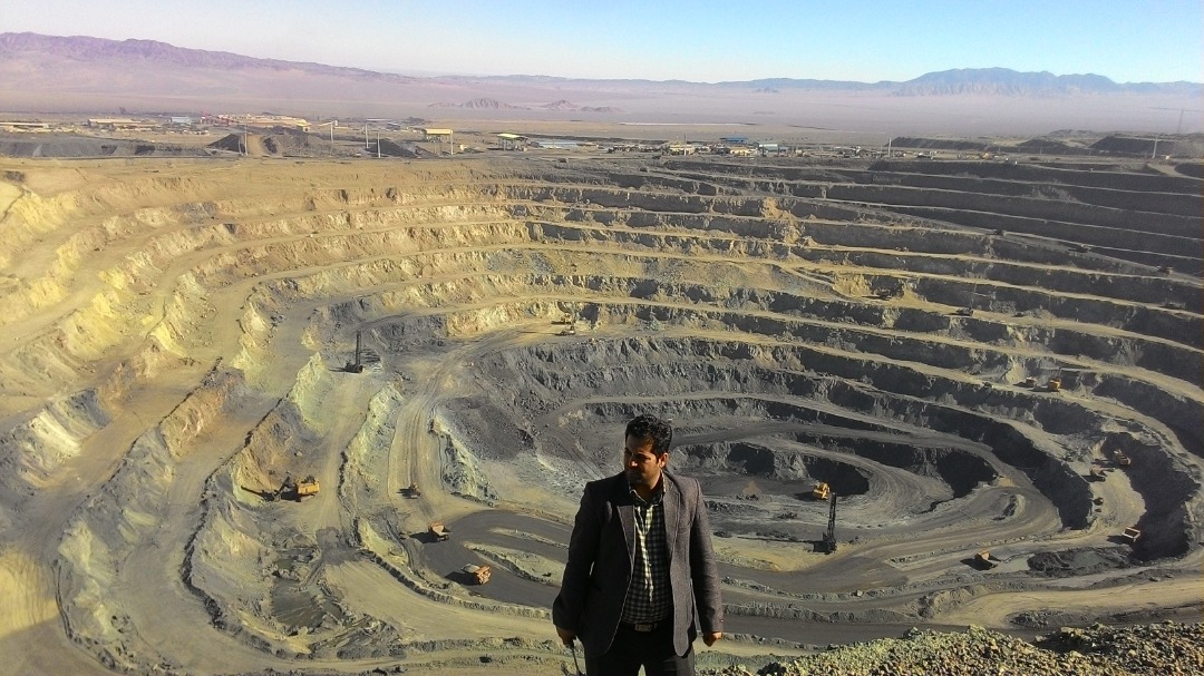
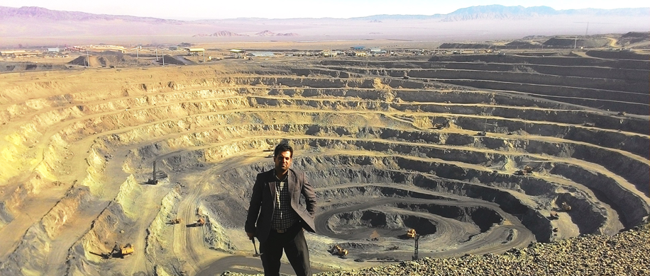
- As project manager, he successfully identified and confirmed an 11.5 million-ton semianthracite thermal coal reservoir, valued at billions of pounds, and was honored to receive a special appreciation letter from the National Coal Company.
- His economic geology research-based proposal, blending machine learning, spatial analysis, spectroscopy, and petrogenesis, secured board investment and led to the discovery of three high-potential districts for copper and gold mineralization.
- Produced a comprehensive spatial database encompassing mining sites, industrial zones, geological base units, geochemical anomalies, and soil/water contaminations.
- Identified high-potential areas for Iron, Copper, Lead, and Zinc mineralization, offering strategic insights using advanced Fuzzy integration methods in GIS.
- Mapped contamination trends for Lead and Zinc, originating from natural mineralized rock units affecting several villages. Using advanced fishnet sampling and interpolation methods.
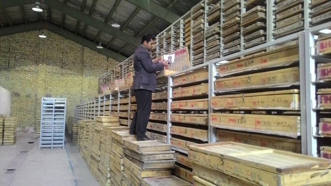
- Created a spectral library from 18 crucial rock units in Kerman, establishing a significant spectral database for future Earth observation studies.
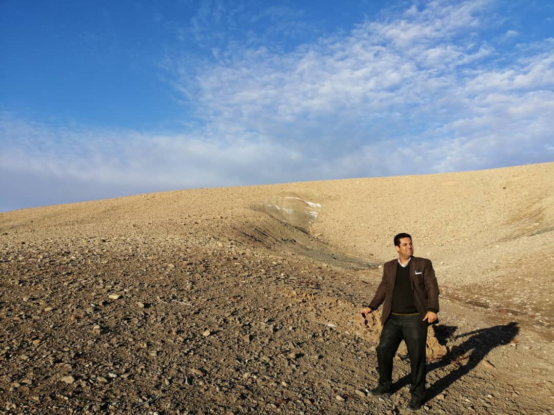
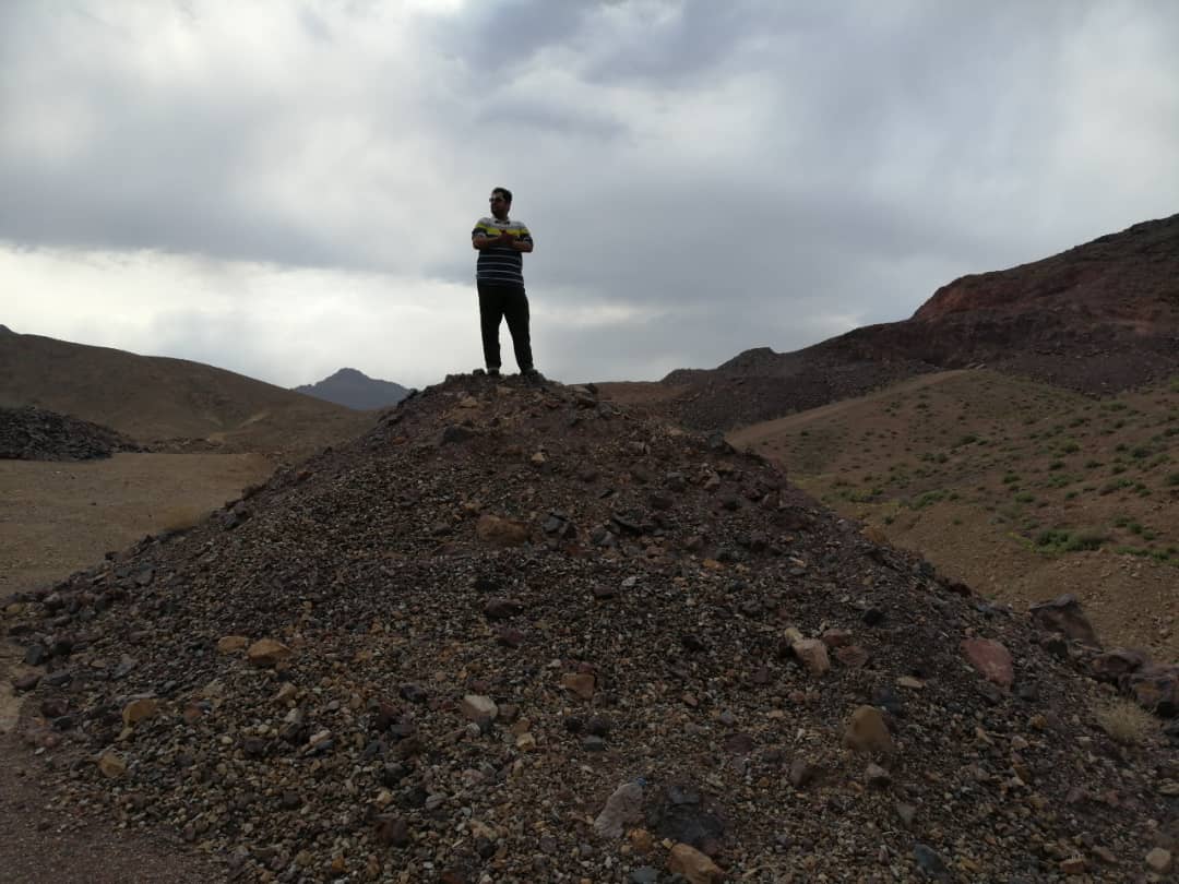
Gallery